


CartoDruid
CartoDruid açıklaması
CartoDruid is a GIS application developed by Instituto Tecnológico Agrario de Castilla y León (ITACyL) thought as a tool to support the fieldwork aiming to solve the problem of disconnected editing of georeferenced information.
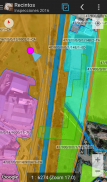
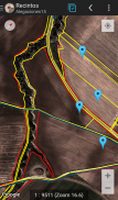
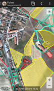
In many field areas, mobile coverage is insufficient to work in a reliable way. CartoDruid provides a solution to this problem allowing the visualization on raster and vectorial layers stored on the device and allowing the creation of new geometries (entities), drawing them directly on the screen or using embeded or external GPS.
CartoDruid doesn't requiere previous GIS (Geographic Information Systems) knowledge and it's easy to configure and use. This allows any person to use it to manage fieldwork information and then export generated data to use them in external applications.
What can CartoDruid do?:
- Visualize online Google Maps.
- Use vectorial cartography loaded on a SpatiaLite database.
- USe rasterimaginery loaded on a RasterLite database.
- Consume online WMS services.
- Create new layers on the device.
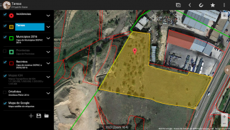
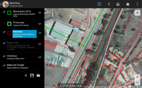
- Configure filtering on vectorial layers to determine visible geometries based on their attributes.
- Configure symbologies and labels based on SQL expressions (easily).
- Configure searches on layers using SQL queries.
- Configure identification forms based on SQL queries.
- Edit the attributes of a geometry.
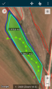
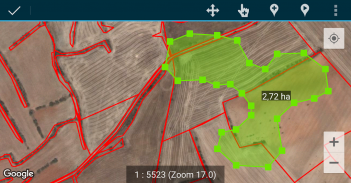
- Manually draw geometries: points, lines and polygons.
- Draw and edit geometries based on GPS data.
- Edit geometries using several useful tools: split using polyline, circular split, merge geometries, multipart explosion. Graphically move existing vertices of geometries.
- Create new geometries intersecting layers.
- Automatically save georreferenced data: creating and update dates and others.
- Associate pictures to entities.
- SIGPAC search based on existing downloaded data.
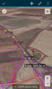
- Length and area measurement tools, defining the measurement units.
- Guided and line based navigation to help the user reach her destination.
- Manage bookmarks.
- Import vectorial data using CSV files.
- Import SpatiaLite databases.
- Export several formats: SQLite, KML and CSV.
- TOC (Table of Contents) management: sorting, symbologies, hierarchical sorting (folders).
- Works with SHP (ESRI ShapeFile) as an exprimental feature.
- Controlling the operations that can be performed on a layer via configuration (overlaps. move vertices. delete entities, identification and edition, ...)
Go visit www.cartodruid.es to see the complete list, download examples and learn how to start!
CartoDruid - Sürüm 0.62.1
(16-01-2024)CartoDruid - APK Bilgisi
APK sürümü: 0.62.1Paket: es.jcyl.ita.crtdrdCartoDruid uygulamasının en son sürümü
Diğer sürümler


Aynı kategorideki uygulamalar

Hoşuna gidebilecekler...


